Tiled Planimetric Layers in DXF Format
File Name: Bos3D_[Tile]_DXF.dxf
Updated: July 2021
Formats: Autodesk Drawing Exchange Format r.14 (.dxf)
Dataset Description
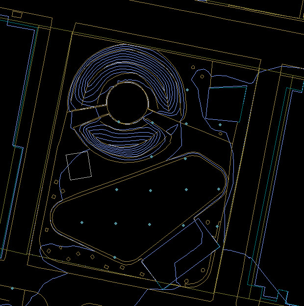
Vector information from several GIS layers has been exported to DXF format for the convenience of users of design tools includnig autoCAD, Rhino or Adobe Illustrator. They can be used as a location reference, source layers for modifiable groundplan linework, digital terrain models and extrudable building footprints.
- Many Planimetric Groundplan Layers -- edge of pavement, shorelines, etc. -- (Infotech, 2011)
- Digital Terrain Model Breaklines and Masspoints (Infotech, 2011; MassGIS, 2005 )
- One-foot Contours (Elevated) (Infotech, 2011 )
- Building Model Footprints elevated to building height
- Openspace Boundaries (MassGIS, 2020)
- Property Parcels (Boston Assessing,2020)
Usage Notes
- Be sure to specify units of Feet when importing DXF layers related to the Boston 3D model.
- For editing terrain, we recommend modifying the DTM Breaklines and Massponts layers and generating a terrain mesh with your tool's delaunay triangulation module.